Articles
Articles and stories on timely topics and trends across a variety of industries.
Editing Careers in the Digital Age
A certificate program shows how learning editing fundamentals opens doors to unexpected futures.
Writing and Editing

Editing Careers in the Digital Age
A certificate program shows how learning editing fundamentals opens doors to unexpected futures.
Read time – 5 minutes

Winning the Numbers Game
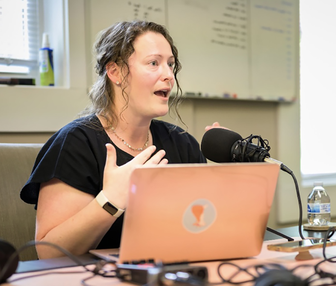
Helen Armalas, Editing certificate
Read time – 4 minutes
Reinvigorating Regional Media
Liz Long, Editing certificate
Read time – 3 minutes

The Art of Legal Precision: Why Lawyers Need to Learn to Edit
Shape narrative and craft arguments that are both engaging and tightly reasoned while using core editing and AI skills.
Read time – 4 minutes

Leading with Clarity When the Ground Won’t Stop Shifting
Strategic business communication to protect your brand and lead your people.
Read time – 5 minutes
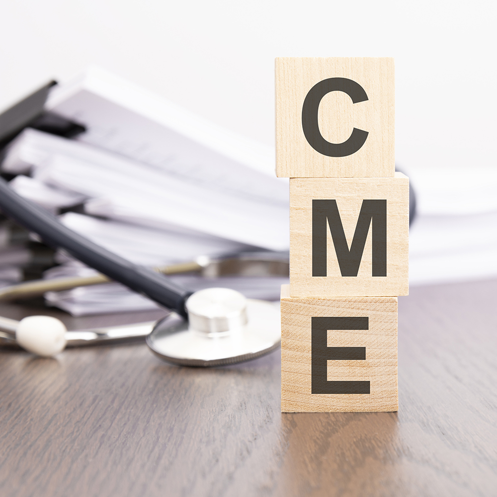
Clear Words, Better Care
How CME credits for communication skills are expanding what it means to practice medicine.
Read time – 4 minutes

Expanding Expertise: From Lab Bench to Freelance Success
Nicole Cotroneo, Medical Writing and Editing and Regulatory Writing certificates
Read time – 5 minutes

Decoding Regulation: Clarity Across the Compliance Landscape
Leah Carter, Regulatory Writing instructor
Read time – 4 minutes

Don’t Leave Money on the Table: Funding Your Professional Growth
Discover how to secure financial support for training, certifications, and education that can advance your career.
Read time – 7 minutes

Making Meaningful Work a Profitable Business
Allie Boman, Editing certificate
Read time – 4 minutes